We examine land records, survey records, and land titles and validate if they are up to date and accurate on the ground. We record data from field surveys and verify its accuracy, from which we prepare plots and maps.
Surveying and Land Boundaries
Topographic Survey
Segregation Survey
Relocation Survey
Installation for Conventional DAS and Lampsite
Location Plan/ Lot Plan/ Vicinity Map
Verification and Joint Survey
Research Work at Various Government Record Offices (LRA, DENR, PENRO, CENRO, NAMRIA)
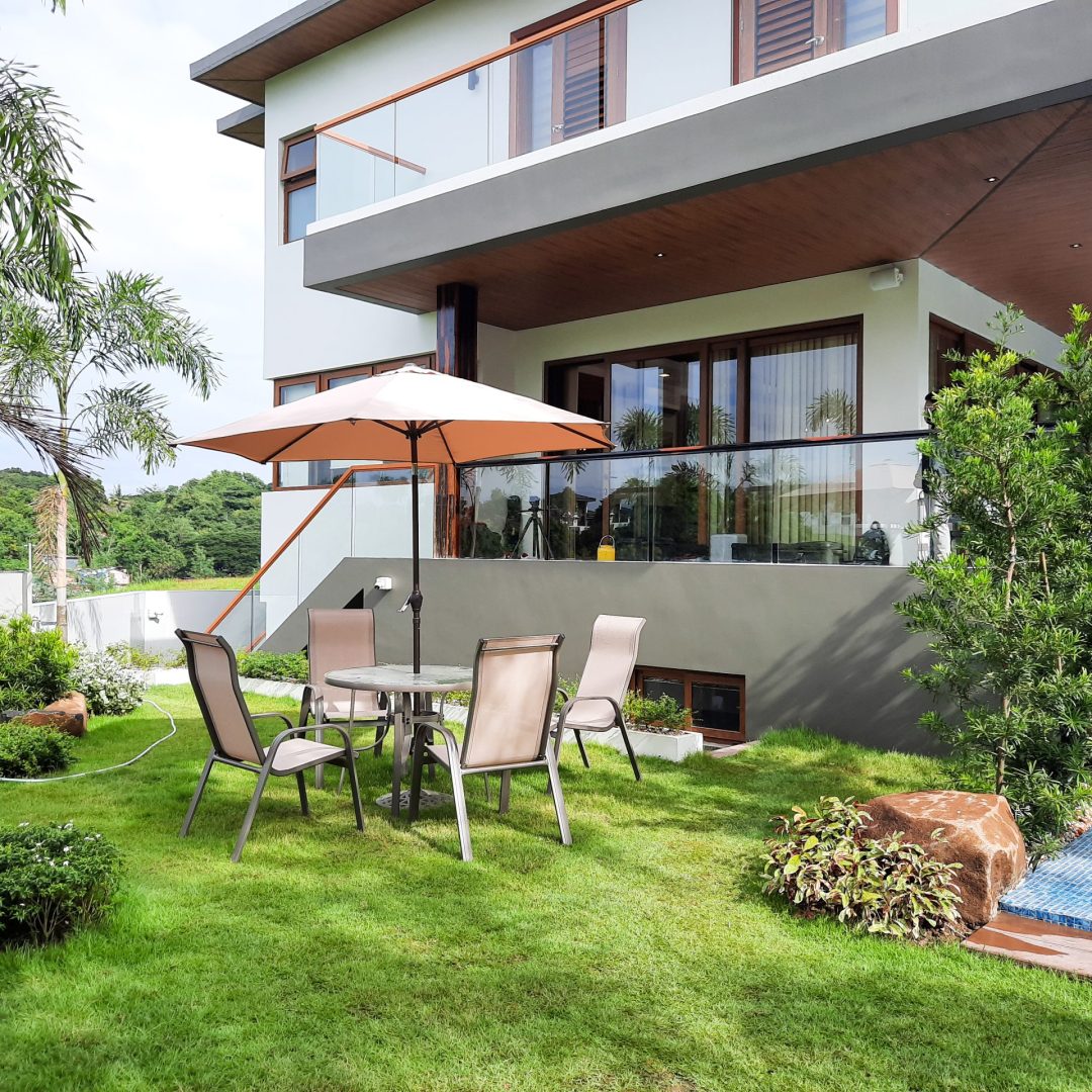
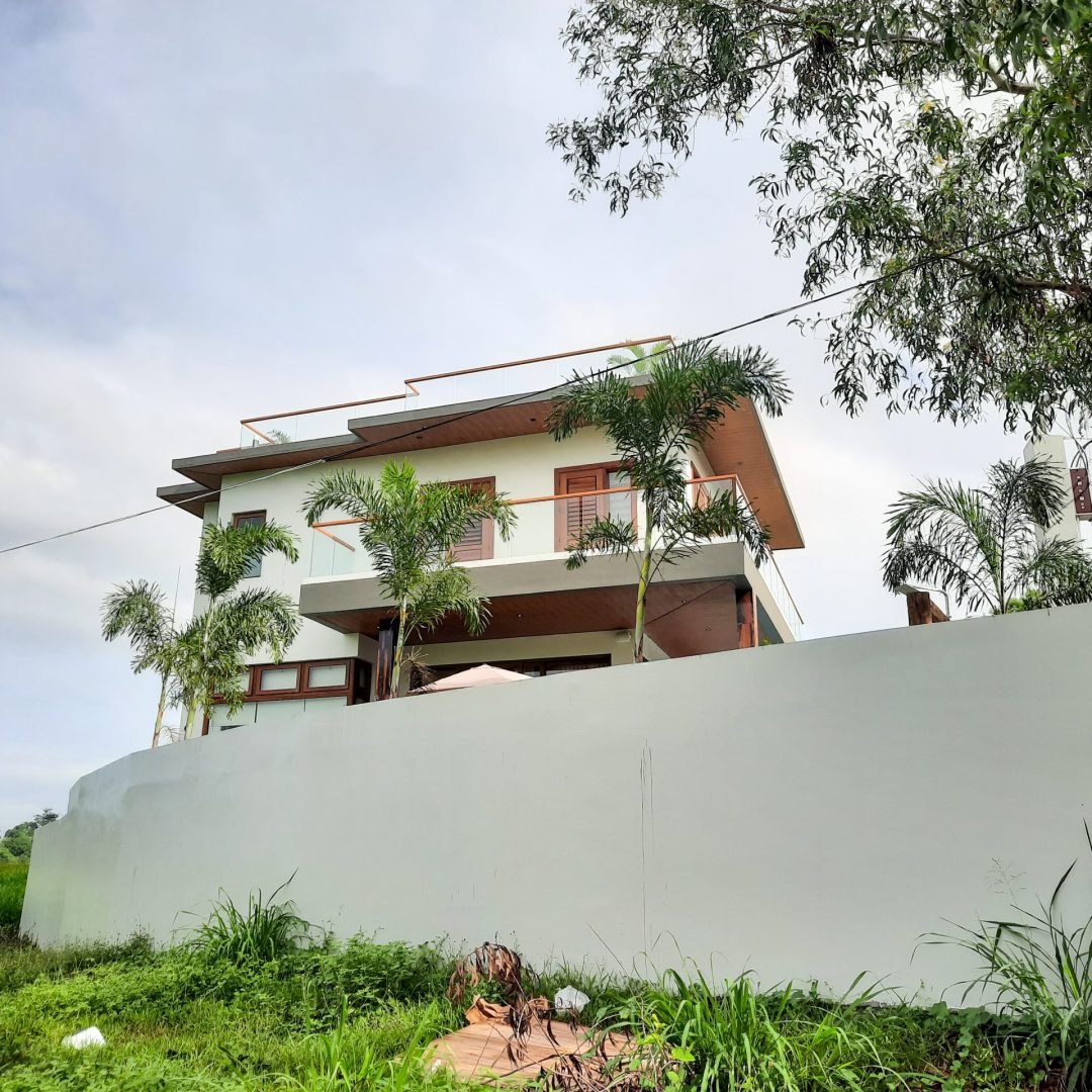
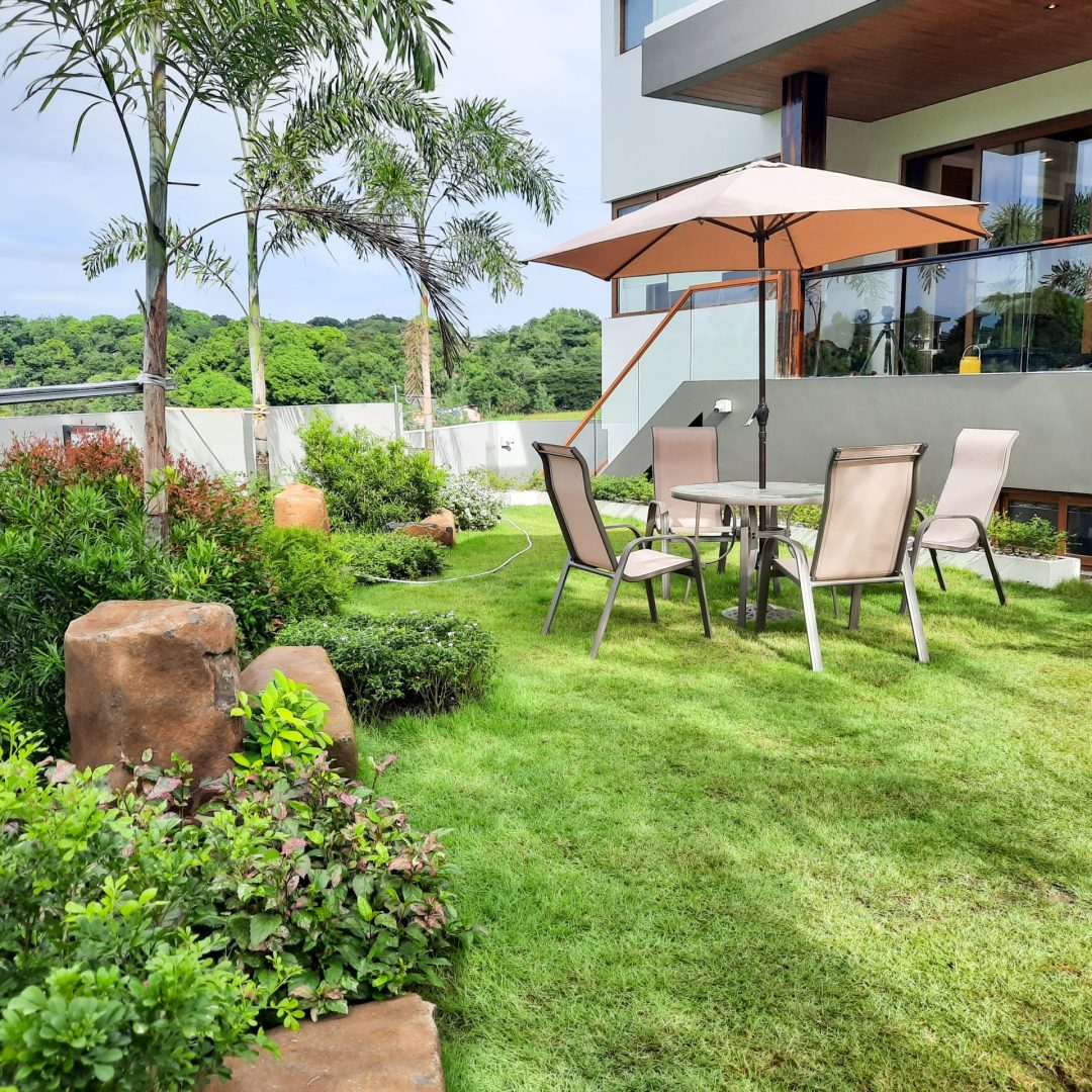
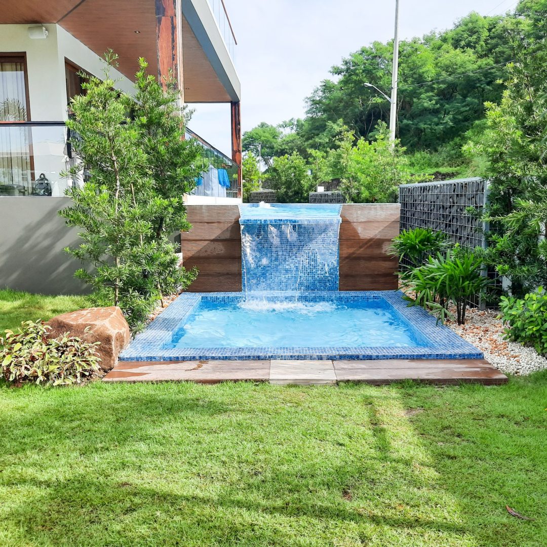
Project
3 Storey with Basement High-end residential Building